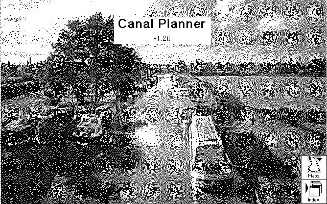

Canal Planner/Mac is an interactive database giving details of all of the canals and the majority of navigable rivers of England and Wales. The database is browsable, enabling users to move around the parts of the database via mouse clicks on the interactive maps, the index, or by following the connections between the canals shown in the database.
The most important use of Canal Planner/Mac is to construct routes and to prepare summarised and/or detailed route plans. Once you have mastered the art of constructing routes, you can construct as many routes as you like and store them for future reference. Summaries and full details of routes can be displayed both as lists of locations and as schematic maps with the route hilighted. All of these details can be printed, including the hilighted maps and (optionally) some gazetteer pages describing locations along the route.
Another valuable feature of Canal Planner/Mac is its extensible Gazetteer. See the documentation pages on the Gazetteer for more information.
Canal Planner/Mac is implemented as a pair of Hypercard Stacks (Canal Planner and Gazetteer). The Canal Planner stack is the main stack. Just double-click on its icon to run it, once you have downloaded and unpacked the stacks. (Many Web Browsers will unpack them automatically.)
Click here to download the Hypercard stacks (300Kb).
To run it you will need a copy either of HyperCard 2.2 or of Hypercard Player 2.2. Hypercard Player is widely available at Mac FTP sites.
A copy of Hypercard Player 2.2 is available here (600Kb).
Here are some big screenshots
of the GUI.
Here are some smaller
screenshots of the GUI.
In addition to the extensive coverage of the canal network provided by Syd Arkless' data, we have added data for the Fenland waterways (Nene, Ouse and Middle Level).
I decided to make the Gazetteer into a groupware application. It uses a technique called 'Liveware' - the Gazetteer consists of a set of date-stamped and signed records. Each record describes a canal location. New records can be contributed by anyone and distributed to other users by email or ftp, who can merge them into their existing Gazetteer database.
I'm hoping that something like this will be added to Canal Planner/PC, so that everyone can share their knowledge of the canal system.
The Canal Planner and Gazetteer Macintosh HyperCard stacks are Copyright George Coulouris 1996. The data that they contain (except for the data on the Fenland rivers) are Copyright Syd Arkless 1995 and are used with his permission. The data may not be copied or used except in the context of these stacks without his further explicit permission.
These stacks may be copied as a whole and distributed by electronic or other means provided that these conditions are adhered to and they are not altered or removed.
Canal Planner/Mac is Charityware. Charityware is like shareware - it must be paid for if it is retained and used for purposes other than review and evaluation. The payment is due not to the authors, but to a charity.
The Charityware fee for Canal Planner/Mac is £25 sterling ($40 US) If you keep it, you must pay the sum of £25 or its equivalent to a canal-based charity of your choice. If you don't know of one, there are some suitable names and addresses in the stack.
I'd like to keep a record of the charity contributions made by users of Canal Planner/Mac, so when you have paid your Charityware fee, please send an email message reporting it to: George.Coulouris@dcs.qmul.ac.uk
Thank you for supporting the UK Canals and Canal Planner/Mac!!
George Coulouris, February 1996